After selecting the Measurement data tab, the following input block appears in the lower area:
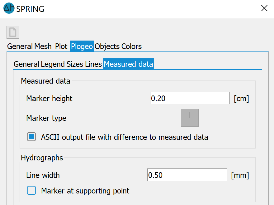
Marker height for measurement data
The marker height [in cm] for the display of measurement data is defined here.
Marker type for measurement data
The marker type (plogeo.ini command ETYP) to be used for the display of measurement data is selected here. After clicking on the selection field, the following marker table appears:
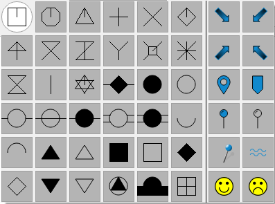
The corresponding marker number is then assigned to the plogeo.ini command ETYP.
The default setting is to use the cross marker type (value = 3). ETYP = 0 is set for the first marker in the table, after which it is numbered line by line.
ASCII-output file with difference to measurement data
If this checkbox is activated, an ASCII log file is created depending on the plot type (plogeo.ini command EDIF = 1). There are two output options:
Calculation of differences to measurement data
In this case, an ASCII log file with the name DiffEich.txt/csv is created, in which the calculated differences, as well as the measured and calculated values, are logged in the order X coordinate, Y coordinate, difference, measured value, calculated value (format 6X, F10.2, F10.2, F10.3, F10.3, F10.3).
Plot of hydrograph with target values
In this case, an ASCII log file with the name C<node/element number>.csv is created for each node or element, which contains the following data:
Calculated value, measured value, time, node/element number (format F10.2, 1X, F10.2, 1X, F10.2, 1X, I10).
Both ASCII log files can be used to create so-called scatter plots (comparison of calculated and measured values in an x/y diagram).
If plots other than those listed above are created, or if the checkbox is deactivated (EDIF = 0), no log file is created.
Hydrographs
The line width for the chart display is defined here (plogeo.ini command GSTR). If the support points of a chart are to be displayed, the checkbox must be activated (plogeo.ini command GMAR).
 Objects
Stand: 06.03.2026 | 