Determination of catchment areas
SPRING-help >> How To >>
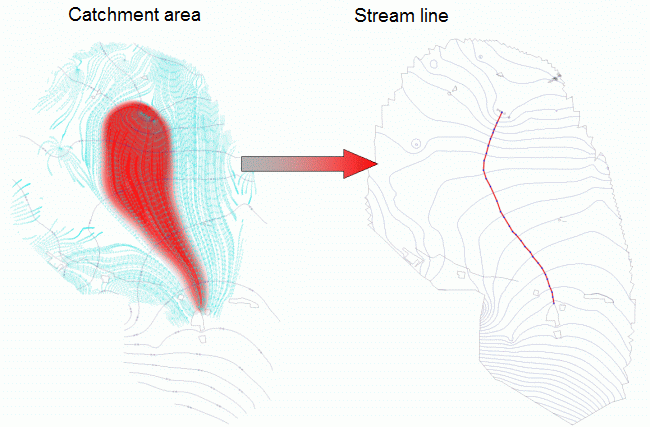
A catchment area is the entire area from which the surface and underground tributaries flow to a specific point. This point can be an extraction well or the mouth of a receiving watercourse into a main body of water. The edge of a catchment area is the watershed. The area is primarily determined by the topographical and geological conditions.
In the groundwater model, a catchment area can be determined e.g. via path lines, streamlines or streaks, in a mass transport model also by the inverted flow. The procedures are explained below.

 Theoretical principles of path line calculation
