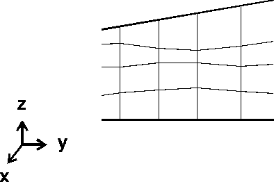
3D extension via specification of the Z-coordinates (ZKOR)
With this procedure, the z-value must be specified for each node, except for the uppermost node layer (= terrain or groundwater surface). The interpolation tool in SPRING can be used to construct the z-coordinate layers. The x- and y-coordinates are derived from the 2D mesh. The horizontal element boundaries can follow soil/geology stratification or be used for vertical refinement.

Generation of the 3D mesh by specifying the Z-coordinates
 Incorporation of discontinued layers into the 3D model
