For the import of structures the user can choose between various data formats:
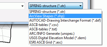
While there are any other queries when choosing the structure file format, further input windows appear when choosing "SPRING-foreign" formats.

ArcView Shape format (*.shp)
Point, line or area information available in the ArcView shape format, can be imported as structures.
After selecting a *.shp file appears the following input window:
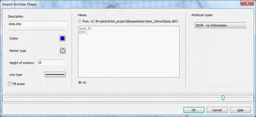
Like editing a structure the display attributes are chosen and the values and attributes are assigned.

AUTOCAD *.dxf-format
Point, line or area information available in the AUTOCAD *.dxf-format can be imported as structures.
After selecting a *.dxf file appears the following input window:
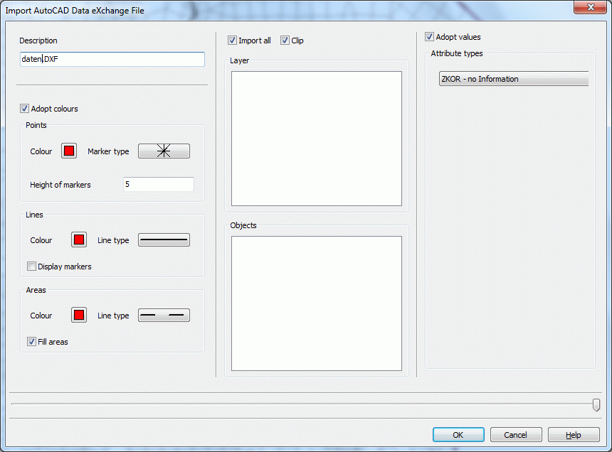
In addition to the presentation attributes for the various structure types and the attribute assignment it can be chosen if all layers of the *.dxf file, or only some are imported from a list selection. The values can also be taken over.

ASCII-Tables *.csv-format:
In many cases required structures already exist in a data base. It is possible to save the data, i.e. coordinates and possible values, as a tabular ASCII file. This can be a tabular text with comma separated values (*.csv format). Such data can be imported as point-structures in SPRING.
After selecting a *.csv file appears the following input window:
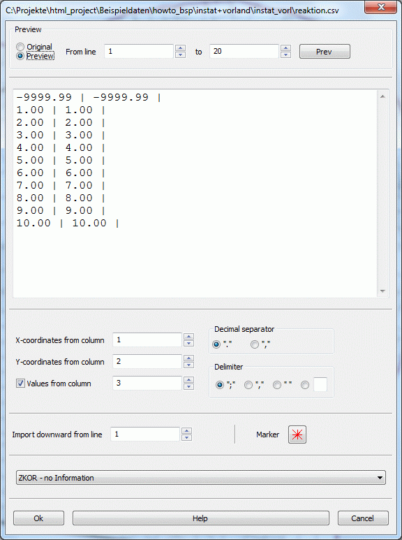
Here the user must enter explicitly to which column the x and y coordinates and z values are assigned. The used decimal and column separator is indicated. A coloured marker is assigned to the data type by which the data points are shown.
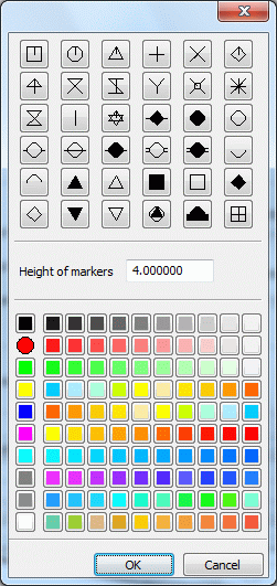
The import of the data can be done from a specific line. If column headings are present in the file, then the import ist to start from row two.
Finally, the data type is selected, to which the z values are assigned.

ASCII-tables *.txt-format:
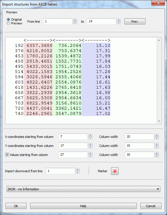
The respective starting column and the column width are associated with the x and y coordinates and the z-values. A coloured marker is assigned to the data type by which the data points are shown (see *.csv format). If column headings are present in the file, then the import is to start from row two. Finally, the data type is selected, to which the z values are assigned

ARCINFO generate-format (*.bru, *.pkt, *.umr)
Point, line or area information available in the ARCINFO generate format, can be imported as structures.
After selecting a *.bru, *.pkt or *.umr file appears the following input window.
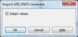
There is only the question if the existing values should be transferred.

USGS (*.dem) and ESRI ASCII Grid (*.asc)
Data files are imported directly.

 Water course systems