Ground surface elevation
Attribute: GELA [meters above reference datum] (horizontal or 3D models)
The ground or terrain surface elevation is required if an impermeable layer (UNDU) is included or if the distance between the surface elevation and groundwater elevation must be calculated (surface elevation - groundwater elevation = distance to groundwater). The surface elevation is also taken into account when calculating the initial and maximum thickness, and can be used to define the position of the uppermost nodal layer of a 3D model. The ground/terrain surface elevation is always assigned to nodes.
The following relief image can be created with SPRING using surface elevation data:
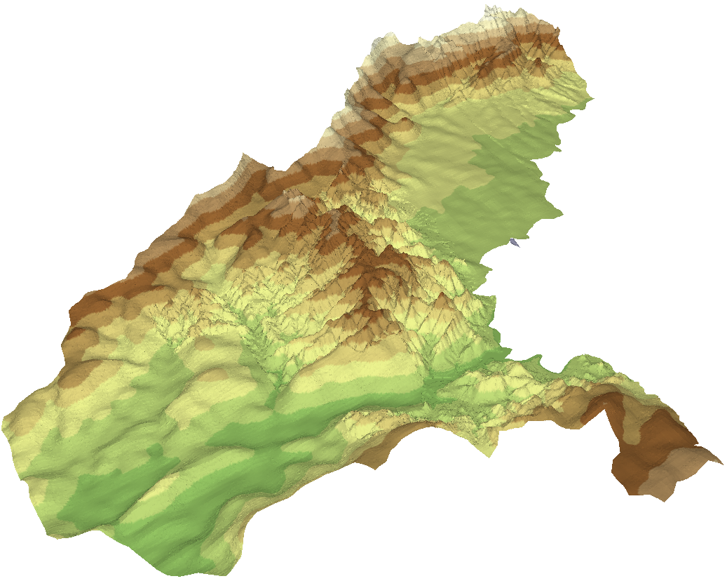
Terrain surface elevation as relief
Stand: 06.05.2025 | 