The input or calculated data of the groundwater model (SPRING file formats) can be exported in various file formats for the presentation of results or for import into other software.
Data can be exported in various ways under File  Export:
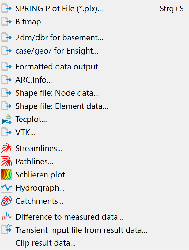
The first four menu items allow you to:
the current representation as a SPRING plot file(*.plx)
the current representation as a georeferenced raster file (*.tif, *jpg, *.bmp, *png)
the mesh in 2dm/dbr format
the mesh in case/geo format for Ensight (2D model only).
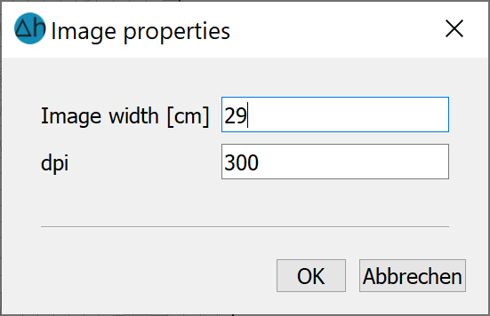
To save, you need to enter a file name and a storage location.
When saving the current display as a georeferenced raster graphic, the image width and the number of dots per inch (dpi) are then defined in the input window that opens.
For the other menu items, the module NACHLAUF (post-processing module of SPRING) is used. The various export options require additional input and are described in detail in the following chapters.
Stand: 25.02.2025 | 